
3D Laser Scanning of Buildings
3D laser scanning with ±2mm accuracy. Architectural inventory, point cloud to BIM conversion, as-built documentation and heritage digitization. Poland and Europe.
Digitisation of Existing Assets
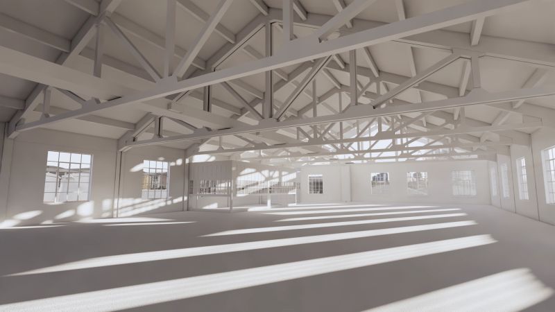
3D laser scanning is the most accurate method for surveying existing buildings and infrastructure. The laser scanner captures millions of measurement points per second, creating a precise point cloud that represents the true geometry of the object.
Scan data serves as the basis for BIM model creation (Scan-to-BIM), on-site quality control, as-built documentation and planning of renovations and modernisations.
accuracy
per second
coverage
Scope of Services
3D Laser Scanning
Object measurement with a laser scanner accurate to ±2mm. Buildings, factories, bridges, heritage sites, interiors.
3D ScanPoint Cloud Registration
Merging multiple scans into a single coherent point cloud with full georeferencing and accuracy control.
Point CloudScan-to-BIM
Conversion of point clouds into a precise BIM model in Revit at the required Level of Detail (LOD).
Scan → BIMAs-Built Documentation
Creation of as-built documentation based on scan data -- floor plans, sections, elevations.
As-builtOn-Site Quality Control
Comparison of as-built conditions against the BIM model -- detecting geometric deviations and monitoring construction progress.
QA/QCHeritage Building Scanning
Survey of heritage buildings with the highest precision, 3D model for conservation purposes.
HeritageThe Scan-to-BIM Process
From scanning the object to a finished BIM model -- 6 stages of precision digitisation.
Scanning
Object measurement with a 3D laser scanner -- capturing millions of points at ±2mm accuracy.
Registration
Merging scans into a single point cloud, georeferencing and accuracy verification.
Import to Revit
Importing the point cloud into the Revit environment, setting position and model scale.
BIM Modelling
Recreating the object geometry in a BIM model -- walls, floors, roofs and installations at the required LOD.
Verification
Comparing the BIM model against the point cloud, deviation checking, corrections and validation.
Export & Documentation
Drawing generation, IFC/RVT export, delivery of the model and documentation to the client.
Benefits of Laser Scanning
Highest Precision
Measurement accuracy of ±2mm provides reliable data as the foundation for design and BIM modelling.
Speed of Survey
Scanning even large objects takes hours instead of weeks of traditional surveying.
Safety
A non-contact measurement method -- ideal for hazardous, heritage or hard-to-access structures.
Complete Data
Full 360° object coverage -- no surface or detail is missed.
AI in Laser
Scanning
Artificial intelligence is revolutionising the Scan-to-BIM process. ML algorithms automatically recognise building elements in the point cloud, speeding up modelling by up to 5 times.
- Automatic recognition of walls, floors and roofs
- AI-driven point cloud segmentation
- Intelligent BIM component fitting
- Automatic MEP installation classification
Featured Projects
Selected laser scanning and Scan-to-BIM conversion projects.
Arsenal, Pavia – Point Cloud to BIM
Point cloud conversion of a historic arsenal in Pavia into a BIM model. 140,000 m², LOD 300 / LOI 200. Full survey of the historical steel structure and brick walls.
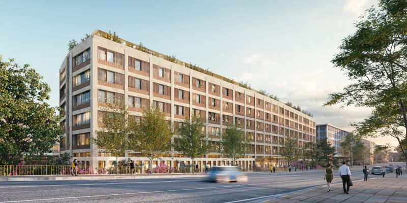
MAXIMA, Rome – office building renovation
Renovation and modernisation of an office building in Rome – full architectural and MEP design in Revit. 40,000 m², LOD 350 / LOI 300. BIM Award winner in Italy.
Frequently Asked Questions
How much does laser scanning of a building cost?
The cost of laser scanning depends on the building's area, number of floors and room accessibility. Scanning a single-family house costs several thousand euros, while a large commercial building starts from tens of thousands. Each project is quoted individually — contact us for a free estimate.
What is the accuracy of 3D laser scanning?
Our laser scanners deliver measurement accuracy of ±2 mm. This means the point cloud faithfully represents the building's geometry with accuracy comparable to traditional geodetic surveys, but in a fraction of the time. This precision is sufficient for as-built documentation, architectural inventory and Scan-to-BIM conversion.
Do you scan heritage buildings?
Yes — 3D laser scanning is an ideal tool for digitizing heritage buildings. The method is non-invasive, requires no physical contact with the structure and captures even fine architectural details. The result is a precise point cloud from which we create a BIM model or inventory documentation for heritage conservation authorities.
Free BIM Audit
Need a building scanned? Book a free consultation -- we will assess the scope and propose the optimal process.