
3D Laser Scanning of Buildings — How We Digitise Architecture
3D laser scanning is the fastest and most accurate method of digitising existing buildings. Within a few hours, the scanner captures millions of measurement points, creating a precise digital copy of the building with millimetre accuracy. We explain how the technology works, when to use it, and what you can do with the data.

What is 3D laser scanning?
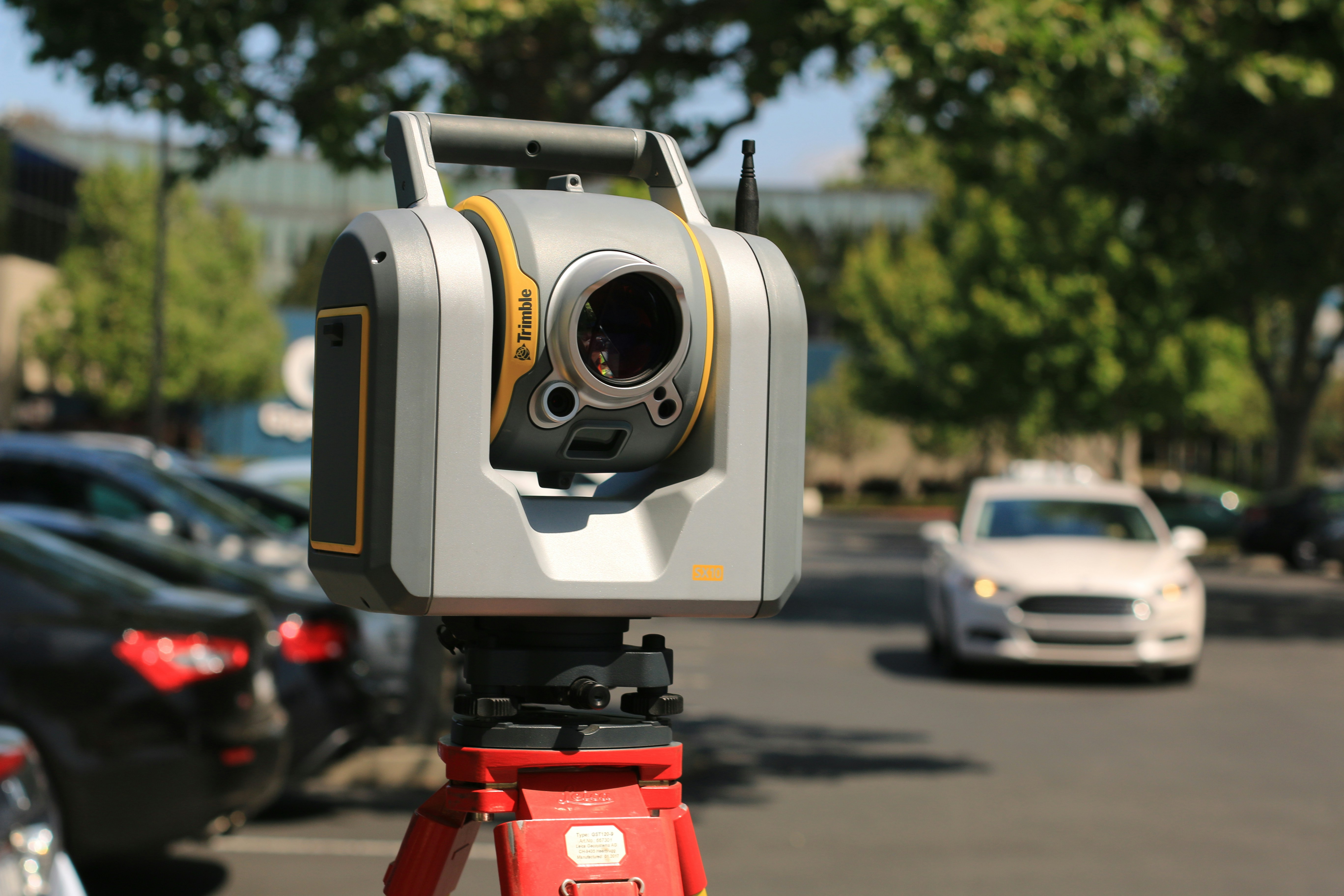
3D laser scanning (also known as LiDAR scanning) is a survey technology that uses a laser beam to precisely measure distances to surrounding surfaces. The scanner rotates 360° and captures millions of measurement points per second, creating a point cloud — a three-dimensional digital map of the building.
Each point in the cloud has assigned X, Y, Z coordinates along with colour (RGB) and reflectance intensity information. Combined scans from multiple positions create a complete three-dimensional image of the building — from foundations to roof, including MEP systems, architectural details, and structural elements.
In the context of architecture, 3D laser scanning is the first step in the Scan to BIM process — creating an intelligent building model from scanner data.
| ±2 mm | measurement accuracy |
| 2M+ | points per second |
| 360° | scanner field of view |
Applications of laser scanning in architecture
3D laser scanning of buildings finds applications at many stages of a building's lifecycle. Here are the most common scenarios where we support our clients:
Building inventory
The most widespread application. When you don't have up-to-date building documentation — or existing paper records don't match reality — 3D scanning provides precise data about the building's geometry. From the point cloud, we generate floor plans, sections and elevations, or create a complete BIM model.
Heritage and revitalisation
For historic buildings, laser scanning is the only method that captures irregular geometries, architectural details, and structural deformations with the required precision. The scanner records every detail — from cornice profiles to cracks in the masonry — without touching the building.
Renovation and extension
Before starting a renovation or extension project, accurate knowledge of existing conditions is essential. Laser scanning eliminates the risk of clashes between the new design and existing construction — which is particularly important for complex MEP systems in industrial and commercial buildings.
Construction verification (as-built)
Laser scanning during construction allows comparing built conditions against the design. We overlay the point cloud on the BIM model and automatically detect deviations — whether walls are in the right position, whether openings have the correct dimensions, whether MEP systems follow the design. This is a fundamental quality control tool on site.
Digital twin
Laser scanning is the starting point for creating a digital twin — a complete digital replica of the building used to manage the facility throughout its lifecycle: from planning renovations, through managing MEP systems, to optimising operating costs.
How does scanning work? Step by step
1. Site visit and planning
We assess the building, plan scanner positions, agree on scope of work and schedule. We establish accuracy requirements and the required level of detail.
2. On-site scanning
We set up the scanner at successive positions, capturing the building from multiple perspectives. For a 1,000 m² building, this typically means 20–40 positions. Scanning at each position takes 3–5 minutes.
3. Registration and data processing
We merge (register) individual scans into a single, unified coordinate system. We clean the cloud of noise and artefacts. We export to E57, RCP or LAS formats.
4. Data delivery or BIM modeling
The client receives the point cloud in their chosen format. On request, we create a full BIM model in Revit — from architecture through to MEP systems.
Laser scanning vs traditional surveys
Why are more and more design offices and investors choosing 3D laser scanning over traditional survey methods?
| Parameter | Traditional surveys | 3D laser scanning |
|---|---|---|
| Accuracy | ±10–30 mm | ±1–3 mm ✅ |
| Survey time (1,000 m²) | 2–5 days | 4–8 hours ✅ |
| Data completeness | Selected dimensions | Full 3D geometry ✅ |
| Verification | Must return to site | Point cloud — digital archive ✅ |
| BIM integration | Manual data entry | Direct import to Revit / ArchiCAD ✅ |
Our projects — 3D scanning in practice
At archBIM.cloud, we have completed dozens of 3D laser scanning projects — from individual units to vast industrial complexes:
Arsenal, Pavia — 140,000 m²
- Location: Pavia, Italy
- Type: Industrial / heritage complex
- Phase: Point cloud → BIM
- LOD: 300 / LOI 200
Shipyard, Taranto — 22,000 m²
- Location: Taranto, Italy
- Type: Shipyard
- Scope: 7,000 m² buildings + 15,000 m² site
What can you do with a point cloud?
A point cloud is a powerful tool, but on its own it is "raw data". Here is what we can do with it:
📐 BIM model in Revit — a full parametric model with all disciplines. More about Scan to BIM →
📄 2D documentation — floor plans, sections, elevations generated directly from the cloud or from the BIM model.
🔍 Deviation analysis — comparing the point cloud with the design model (as-built vs as-designed).
🏠 Visualisations and VR — point cloud as a base for architectural visualisations and VR walkthroughs.
🔄 Digital twin — a digital replica of the building for facility management throughout its lifecycle.
Need 3D laser scanning?
We scan buildings across Poland and Europe. Get in touch — we will quote your project within 24 hours.
Frequently asked questions
How much does 3D laser scanning of a building cost?
The cost depends on building size, number of rooms, and required accuracy. As a guide: a flat or unit up to 200 m² costs from €500–1,500, a building of 500–2,000 m² from €1,500–5,000, and large industrial facilities over 10,000 m² are quoted individually. Contact us for a quote →
What is the accuracy of 3D laser scanning?
Modern 3D laser scanners (Faro, Leica, Trimble) achieve accuracy of ±1 mm to ±5 mm depending on scanner-to-surface distance. For typical architectural applications, accuracy is ±2–3 mm, which significantly surpasses traditional survey methods.
Can scanning be performed in an occupied building?
Yes. Laser scanning is non-invasive and does not require interrupting building use. The scanner operates silently with no harmful emissions. The only requirement is the brief absence of people in the immediate vicinity of the scanner position (a few minutes per scan).
Related topics
- Scan to BIM — BIM model from point cloud
- CAD & CloudPoint to BIM — Data migration
- BIM Management — Coordination & modeling
Free BIM audit
Find out how 3D scanning and BIM can improve your projects. 60 minutes, no obligations.
![Forma Building Design — Autodesk's New Tool Changes Schematic Design [2026]](/images/blog/forma-building-design-hero.jpg)
![Digital Twin in Buildings: What the Autodesk Tandem–Globant Partnership Changes [2026]](/images/blog/digital-twin-budynek-hero.jpg)
![Revit 2027 — AI Assistant, MCP & 8 Features That Will Change How You Work [2026]](/images/blog/revit-2027-hero.jpg)